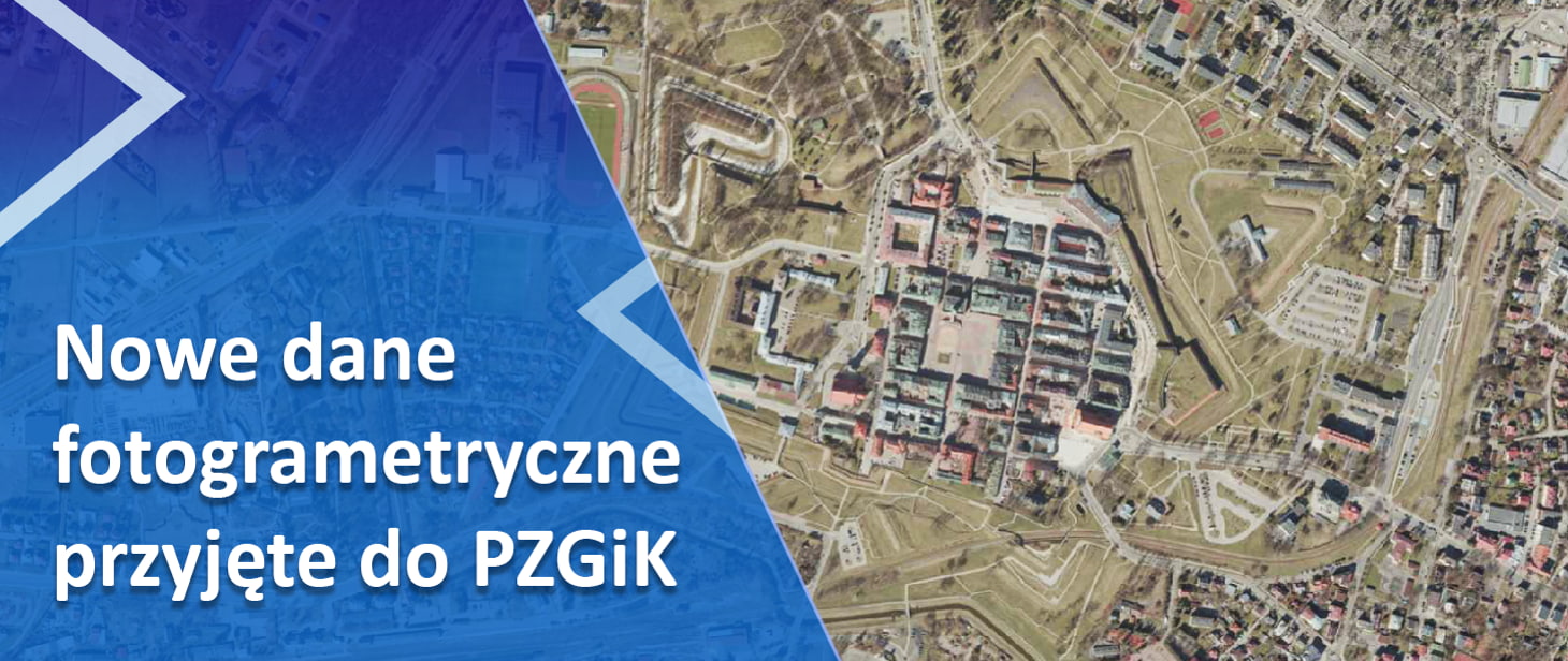
We have accepted another batch of archival aerial photos taken on glass plates (350 pieces) into the Central Geodetic and Cartographic Resource. The photos come from the archive in Lesznowola and were digitized as part of the GUGiK’s own work. These are gray scale materials, made in the years 1960, 1963, 1967, 1968, 1969 covering […]
-
National Geoportal
-
Download data
-
Geodesy and Cartography
-
Crisis management
-
Spatial planning
-
Agriculture
-
Environmental protection
-
Tourism
-
Register of Real Estate Prices
-
National Integration of Services
-
Geoportal 3D
-
INSPIRE Geoportal
-
National Register of Geographical Names
-
The National Security Threats Map (KMZB)
-
EMUiA application
-
CAPAP resources
-
ASG-EUPOS
-
PZGiK Portal – paid access to data
-
Education
-
Find a surveyor
News
-
-
The 31st International Cartographic Conference was held in Cape Town on August 13-18, 2023. The conference was attended by a total of 22 representatives from Poland, including from GUGiK, GUS, IGiK, Warsaw University of Technology, University of Warsaw, Military University of Technology, Wrocław University of Environmental and Life Sciences, University of Wrocław and the University […]


