WFS1 (Web Feature Service) – is a service used to download data in vector form, based on user-defined criteria. The data format used for the transmission is Geography Markup Language (GML).
Below is a list of WFS services published by the Head Office of Geodesy and Cartography:
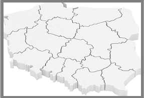
Administrative boundaries
| Service type | Service name and parameters | Data sample | Service URL |
|---|---|---|---|
| National Register of Borders – Territorial Units | Copy URL |

Dane adresowe
| Service type | Service name and parameters | Data sample | Service URL |
|---|---|---|---|
| Państwowy Rejestr Granic – Adresy i ulice | Copy URL |

National Register of Geographical Names
| Service type | Service name and parameters | Data sample | Service URL |
|---|---|---|---|
| National Register of Geographical Names | Copy URL |
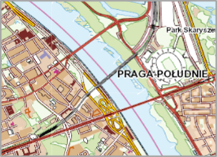
Dane topograficzne
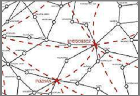
Geodetic network
| Service type | Service name and parameters | Data sample | Service URL |
|---|---|---|---|
| Basic Horizontal Geodetic Network | Copy URL | ||
| Basic Vertical Geodetic Network | Copy URL | ||
| Gravimetric Control Network | Copy URL | ||
| Magnetic Control Network | Copy URL |

Siatki podziału arkuszowego
| Service type | Service name and parameters | Data sample | Service URL |
|---|---|---|---|
| Siatki podziału arkuszowego | Copy URL | ||
| Siatki rozszerzonego podzialu arkuszowego ORTO (PL-1992) | Copy URL | ||
| Siatki rozszerzonego podzialu arkuszowego NMT (PL-1992) | Copy URL |

Photogrammetric network
| Service type | Service name and parameters | Data sample | Service URL |
|---|---|---|---|
| Osnowa fotogrametryczna | Copy URL | ||
| Aerotriangulacja | Copy URL | ||
| Linia mozaikowania | Copy URL |
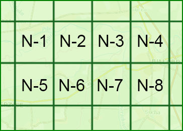
Indexes to download data
1Web Feature Service (WFS) to międzynarodowy standard udostępniania danych przestrzennych w Internecie w postaci wektorowej. Standardy techniczne dostępne są na stronie Open Geospatial Consortium (OGC): http://www.opengeospatial.org/standards/wfs.
